
Start a Henrietta Street Directory Search
A useful Henrietta address-research walk starts by preserving three identifiers: the number and street as printed, the postal city and ZIP, and the parcel’s legal municipality. That separation matters here because Rochester, Henrietta, and West Henrietta can all appear in official mailing lines for town-related addresses. The county parcel and assessment routes establish an address-to-parcel connection; a deed index supplies recorded transaction parties; historical directories can offer a dated printed address clue. None of those sources alone identifies every person associated with an address.
- Record the raw address, then check the Monroe County Parcel Viewer with Address Search. Save the parcel ID, municipality or SWIS value, map date, and the displayed postal line before changing any wording.
- Use the parcel polygon and centerline to orient the address on the street. Inspect each result separately rather than assuming a nearby polygon belongs to the same address chain.
- Compare the property route or Henrietta assessment roll for the applicable roll year. Treat a tax-roll owner and mailing field as assessment context, not as proof of who is physically present.
- Search the Monroe County Clerk index by grantor or grantee variants, recording date, municipality, and parcel clues. Note whether the result is an index view or an image.
- For a person-specific election check, use the county form’s street number, street-name autocomplete, ZIP, last name, and date of birth fields. It is not a street-wide export.
- For earlier periods, use a historical directory’s address section and retain its year, page, publisher, and printed role. The result is a period clue to compare with the parcel and deed trail.
That sequence makes the workflow reproducible. It also leaves room for a no-result: an address may be outside a directory’s geography, use a different postal label, fall in an earlier paper series, or belong to a source with access limits.
Henrietta Street Directory Parcel Fields
The Monroe County Parcel Viewer is the local map tool for turning a street query into a parcel-based research note. It exposes workflows rather than a townwide people list. Start with the exact string and retain the method used, because an address search, a tax-ID search, and a buffer query answer different questions. The map’s parcel display field is parceladdressstreetname, and its boundary, ZIP, centerline, and basemap layers provide the context needed to keep a mailing label from becoming a municipal conclusion.
| Viewer Control | Use in an Address Search | Research Note to Keep |
|---|---|---|
| Address Search | Find a parcel from its street address. | Raw and normalized address, selected result, map date. |
| TaxIDSearch | Return to a parcel by its tax or parcel identifier. | Exact parcel ID and legal municipality or SWIS. |
| ParcelZoomStart | Open the parcel-focused map workflow before reviewing context layers. | Visible layers and the starting parcel. |
| BufferParcel | Generate a nearby-parcel candidate set for map review. | Distance or view used, then manually confirmed polygons. |
Use identify, print, report, or share controls to preserve a dated view when available. The underlying public layer uses parcel polygons, not a simplified street line. Assessment joins are maintained daily, the parcel layer is recreated weekly, and distribution is quarterly, so a fresh roll and a map display may not match perfectly.
Henrietta Street Directory Map Layers
After locating the target, view the parcel polygon alongside the centerline, Towns and Villages boundary, and ZIP boundary. Those layers resolve a common Henrietta address problem: a postal city can say Rochester, Henrietta, or West Henrietta while the parcel remains in the Town of Henrietta. The property portal result format, where available, adds a final-roll date, street address, municipality or SWIS, parcel ID, assessed values, class, lot dimensions, acreage, map links, utilities, and sale-history fields. Its text-session landing page returned a 403 response, so live labels should be checked rather than assumed.
For a named street, pan the centerline and identify each relevant polygon one at a time. Record address, parcel ID, municipality, displayed owner or mailing field if present, and map date. BufferParcel can help find candidates, but roads, easements, and noncontiguous shapes need to be excluded before saying parcels touch. This is a spatial method, not a boundary survey or a social map.
Henrietta Street Directory Records by Address
The sources below answer different address questions. Use the source role and date beside every note: a tax roll concerns an assessed parcel, a deed concerns a recorded transfer, a map is spatial context, and a historical directory is a dated publication. The Monroe County Clerk supports online, phone, fax, mail, and in-person land-record access. Its record-order guidance asks for items such as an index number when known, record type, filing date, and party names or business.
| Address-Keyed Source | Custodian or Route | What It Can Show | Important Boundary |
|---|---|---|---|
| Henrietta assessment roll | Town Assessor and county property route | Roll-year owner and parcel context, neighborhood code, maps | Owner and mailing information do not establish physical presence. |
| County Parcel Viewer | Monroe County GIS | Parcel polygon, address, boundary, ZIP, centerline, adjacent parcels | Its map layers are not a legal survey and change on different cadences. |
| Recorded land instrument | Monroe County Clerk and SearchIQS | Grantor, grantee, legal description, municipality, tax number, recording data | A named party is a transaction role, not a current-address claim. |
| Town projects and files | Henrietta projects page, document library, or FOIL | Published project address, application, tax account number, status, or public file | Published files are a subset; request a defined file when needed. |
| Historical directory | Rochester Public Library or related collections | Printed name and address within a stated volume and geography | Coverage can omit Henrietta or a particular year. |
The parcel ID and legal description are the most stable bridge when a street string changes or shares a name with another route. A modern street name is useful for the GIS and town-file search, while the recorded instrument’s legal description, tax number, and liber or page reference help carry the research into older material.
Henrietta Street Directory and the Postal-City Crosswalk
An address line is not the same thing as a town boundary. Official town materials show three routine labels in this area: Henrietta 14467, West Henrietta 14586, and Rochester 14623. Town Hall itself uses a Rochester 14623 address, while the town PO Box uses Henrietta 14467. Edge examples include Pittsford 14534, Rush 14543, and Rochester 14618. These examples show why an address-research note needs both the mailing line and the parcel municipality or SWIS.
Use USPS for delivery-address validation, the county GIS ZIP layer for geographic context, and the parcel result for the municipal answer. A ZIP polygon is mailing geography, not a town boundary. Search the original address string before standardizing a suffix or postal city, especially when a historical directory, cemetery, or map uses a community label that does not match a current interface.
Henrietta Street Directory Project Files
Address-keyed town material can provide a construction or planning clue without becoming a claim about a household. Henrietta’s projects pages publish active items with addresses, applications, tax account numbers, and statuses. Search the house number, normalized street, and alternate postal city, then compare a hit with the document library or a focused FOIL request for a public file. The town’s FOIL page calls for an acknowledgment within five business days or an approximate determination date, and it lists paper and electronic fee rules plus a 30-day appeal route. A request should identify the address and a date range and allow for privacy review or redaction.
For the recorded-land branch of a street search, the Monroe County Clerk records page explains the available record routes and the information useful for a defined order.
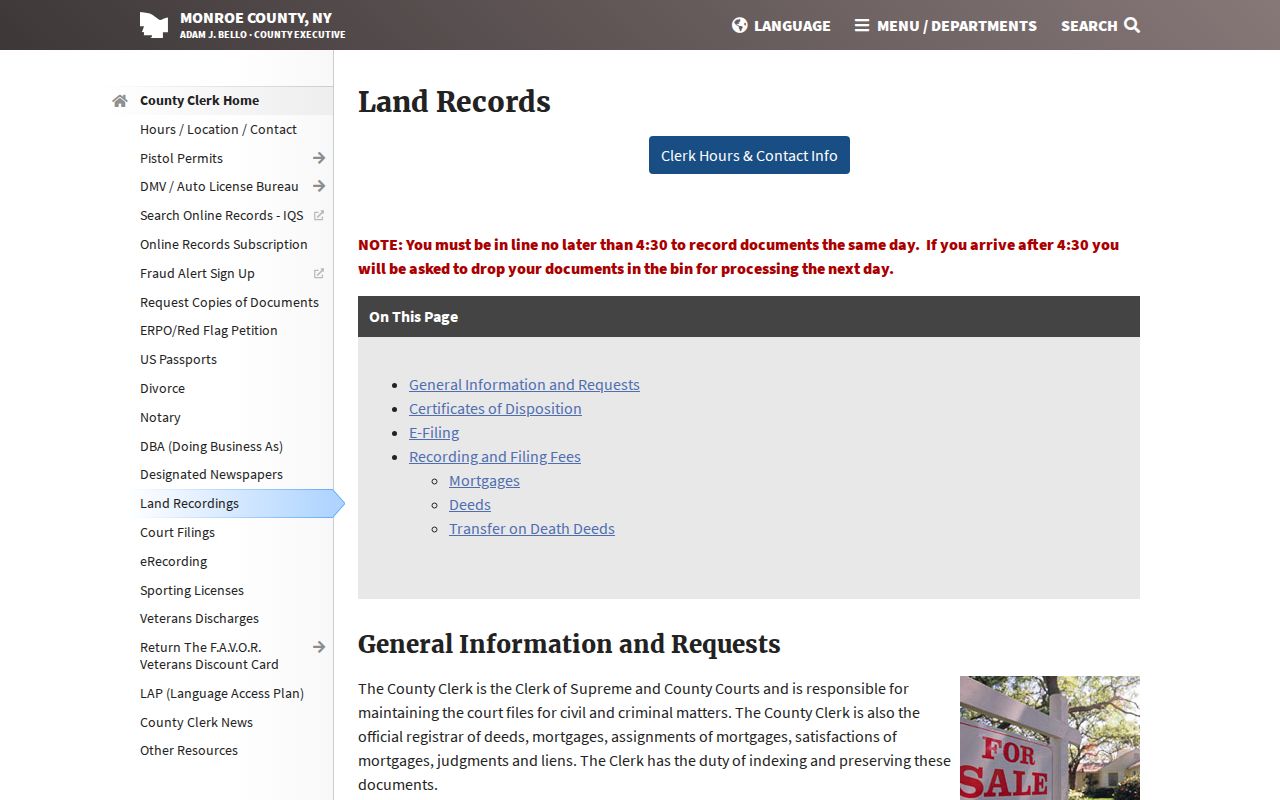
As of the County Clerk’s April 1, 2026 access change, guests retain index searching and viewing through SearchIQS, while online document images require a subscription; County Clerk public terminals retain free full-image access. Keep the retrieval date and whether a note came from an index or an image. Building and fire files similarly identify a permit, application, certificate, inspection, order, or permittee role, not a statement about a current occupant.
Henrietta Street Directory Historical Clues
For an earlier address, keep the historical string beside the present one until a deed, plat, official map, or address record makes the bridge. The County Historian and RPL methods flag Rochester’s 1884-85 renumbering, but the research located no Henrietta-specific renumbering or former-name list. That is a meaningful limitation: do not apply Rochester’s historical numbering change to Henrietta without source support.
A criss-cross directory has an address section as well as a name section. Choose a year and street segment, transcribe the printed number, name, page, and publisher, then check the name section for any alternate address or other text the volume actually shows. Compare it with the deed, assessment, map, or plat for the same period. The collection and how to read its volumes are covered in the Henrietta city directories guide; use that historical evidence as a dated clue, not a reconstructed household roster.
Henrietta Street Number Record Rules
Town Code Chapter 52, adopted December 20, 1989, requires Arabic house numbers at least four inches high and displayed by the building. The Assessor has final authority to assign numbers, and new construction needs conforming numbers before a certificate of occupancy. Developers also post a temporary address or lot sign. These practical requirements explain why recording the exact number matters, but the code does not create a public historic-address list.
When an older description lacks a number, save the lot, block, tract, subdivision, metes-and-bounds language, map or plat reference, and liber or page. A subdivision plat can supply the planned street, lots, adjacent owner or subdivision names, utilities, zoning, and filing reference that connect a pre-number parcel to a later street address.
Henrietta Street Research Labels
A short evidence label prevents a reader from giving a source more weight than it earns. Mark an assessment result as “tax-roll owner,” a recorded instrument as “deed party,” a directory entry as “printed address occupant,” and a permit item as “permittee.” Add the source date, the exact address string, parcel ID where applicable, and one sentence on what the item does not prove. This preserves a useful trail without collapsing owners, document parties, and directory entries into one identity.
For a whole-street review, save the query date and street string, print or share the permitted GIS view, and attach each assessment result to its parcel ID. If a result is missing, test the street suffix, old number, postal label, municipality, source coverage, and access restrictions before concluding that the address has no record.
What a Henrietta Street Directory Cannot Establish
An address trail has real limits. Parcel and assessment records concern land and tax administration; deeds record transactions; directory entries are period publications; and the county voter lookup is person-specific rather than a street-wide browsing tool. The town did not publish an official list of utility customers or a verified household roster. New York DMV information is restricted under the Drivers’ Privacy Protection Act and is not a source for this research.
Do not attempt to reverse or geolocate an Address Confidentiality Program substitute address. Protected physical locations have narrow disclosure rules, and a public field in one record does not authorize combining it with other information into a personal profile. Preserve only the context needed to understand the record, its date, and its stated role.
Lawful use. Use Henrietta address records for personal history, family research, civic context, or a documented property question. Do not use an address trail to stalk, harass, intimidate, or harm anyone.